
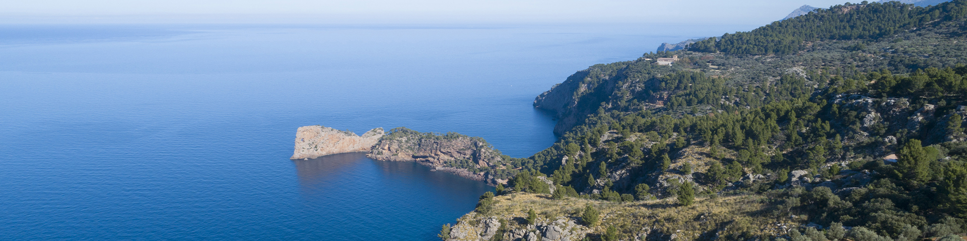
Tramontana Mountain Range: routes among villages and olive trees
In celebrating its 15th anniversary as a UNESCO World Heritage Site, the Tramontana Mountain Range remains much more than a Mallorcan landscape: it is a geography inhabited, cultivated, and passed down through several generations, where stone villages, terraces, estates, centuries-old olive groves, fountains, and historic paths form a cultural legacy that allows visitors to explore the island from its most authentic, serene, and regionally connected dimension. The mountain range stretches about 90 kilometers along the northwest of the island, between Sa Dragonera and the Cap de Formentor, like a backbone of stone and vegetation that structures one of the island’s most genuine landscapes. Its mountains encompass the territories of 20 towns, each with its own identity: cozy squares, traditional houses, cobbled streets, natural viewpoints, orchards, forests, and olive groves that depict an interior Mallorca, distant from the pace of the better-known coastal areas. This character can be especially understood through village-to-village cultural routes. Each town functions as a small visitor center where the streets, urban centers, and surroundings reveal the heritage values that underpinned the UNESCO designation in 2011. The historic occupation of the mountain, the use of scarce resources, exchanges among inhabitants, and the need for communication shaped a network of paths that today guide travelers through the mountain range’s living memory. Andratx, Calvià, and Puigpunyent offer access to the world of estates, large rural properties that structured the economy and organization of these localities over several centuries. In Banyalbufar, Esporles, and Estellencs, water, terraces, and dry stone walls describe a patient way of adapting to the mountain. Bunyola, with Raixa and Alfàbia, introduces the dimension of manor gardens, while Santa Maria del Camí, Alaró, and Lloseta serve as gateways to a landscape in which architecture, paths, and rural life intertwine. Valldemossa and Deià incorporate a more artistic and inspiring interpretation. Its views, streets, and atmospheres attract writers, musicians, painters, filmmakers, and travelers, with the Royal Charterhouse of Valldemossa standing as one of the main cultural landmarks. Sóller and Fornalutx, in turn, strengthen the connection between villages, paths, and mountain passes: the former surrounded by orchards and modernist heritage; the latter with labyrinthine streets, stone houses, and painted tiles.
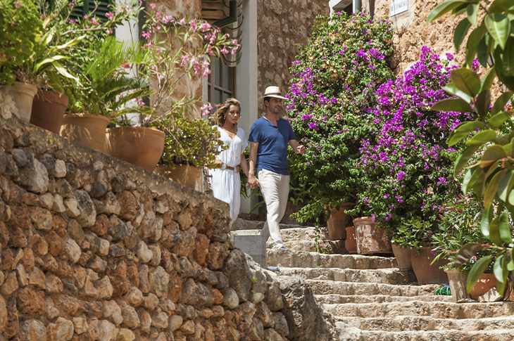
This route is completed with other sites that expand the richness of the whole. Mancor de la Vall, Campanet, and Selva showcase traditional architecture and inland villages; Escorca and Lluc contribute the spiritual dimension; and Pollença highlights the relationship between landscape and artistic creation. The Tramontana Mountain Range consolidates its status as the heart and lungs of Mallorca: a well-cared-for, shared, and deeply vibrant territory.
Location
Mallorca is located in the Mediterranean Sea, east of the Iberian Peninsula, and is part of the Balearic Islands. The main air access point is Palma airport. Maritime connections operate from the ports of Palma and Alcúdia. Internal mobility is supported by the island’s road network and trains from Palma to Sa Pobla and Manacor.