
Galicia unveils a grand coastal route spanning 1,370 kilometres
The itinerary connects fishing villages, beaches, lighthouses and coastal heritage
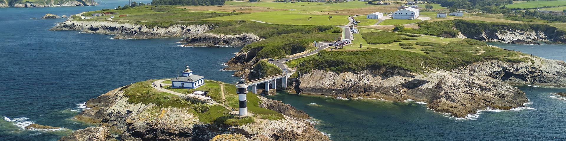
Galicia has launched a grand coastal route spanning more than 1,370 kilometres and 52 stages that allow you to traverse its coastline from Ribadeo towards the south, on foot or by bicycle, connecting beaches, estuaries, lighthouses, coastal villages and natural spaces. This bidirectional itinerary has been designed for unhurried travel, with its own signage and digital tools aimed at facilitating the planning and discovery of each section. The proposal is structured as an itinerary that provides the opportunity to view Galicia from the ocean’s edge and understand how its identity changes as the journey progresses. The sea serves as a common thread, but the landscape is never identical: open sandy beaches, tranquil estuaries, dune systems, ports, cliffs, vineyards and shellfishing areas allow visitors to alternate between nature, culture and local life with the coastline ever in sight. The trail is designed to be enjoyed in sections and in both directions, such that each traveller can adjust distances, times and stops to suit their interests. The route alternates between different profiles, terrains and levels of difficulty, as well as connecting urban centres with natural spaces, allowing for a mix of active days and moments of rest in coastal towns, viewpoints, beaches or heritage sites. The Camino del Litoral begins in Ribadeo and proceeds to A Guarda, with a cycling track up until Tui, where it connects with the Portuguese Way. Its 52 stages, many of which can be split or combined, provide the possibility to organize anything from weekend getaways to longer trips. This itinerary is designed to be carried out on foot or by bicycle, with separate routes for each when the terrain characteristics so require. The rich territorial diversity is one of its greatest assets. The Mariña Lucense starts off the route amid beaches and ports; Ortegal introduces cliffs and an even more pronounced relief; Ferrolterra adds beaches facing the Atlantic and its naval heritage, while the A Coruña area combines urban flair with trails that continue alongside the ocean. Further south, the Costa da Morte incorporates seascapes with a strong maritime character and a territory through which the Lighthouse Way also runs.
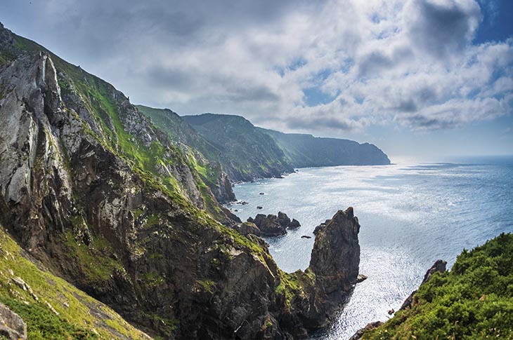
The route proceeds through the southern sector of the Costa da Morte, among stone villages, marshes and the extensive beach of Carnota, before reaching Barbanza and Arousa Norte, with the dunes of Corrubedo and the ports of Ribeira, A Pobra and Rianxo. Arousa Sur and O Salnés present vineyards and various shellfishing areas; the Pontevedra estuary links beaches, coves and ports; and the stretch of the Vigo estuary and Baixo Miño envelops O Morrazo, passes through Vigo and Redondela and continues towards Baiona and A Guarda. Beyond the landscape, the itinerary adds a cultural dimension that is closely linked to the sea. Historic lighthouses, typical architecture, hermitages, forts, dolmens, spaces connected to seafaring traditions and villages that maintain a strong relationship with the coast all enrich this experience. The cuisine of each region and the tourist services close to the sections are part of an itinerary designed to enable the exploration of the land beyond the trail.

The mobile application Camino del Litoral, available for iOS (iPhone) and Android, includes stages, maps, practical information, GPS navigation and points of interest related to the surrounding heritage. The route passes through seven major landscapes – Mariña Lucense, Rías Altas, Golfo Ártabro, Bergantiños, Costa da Morte, Rías Baixas and southern Galicia – highlighting a coastline that stretches across 2,555 kilometres. In 2026, as a prelude to the Xacobeo 2027, the Camino del Litoral broadens the possible approaches to Galicia with a proposal based on mobility, landscape, seafaring culture and a leisurely discovery of the region.
Location
Galicia is located in the northwest of Spain and is bordered by Asturias, Castile and León and Portugal, between the Cantabrian Sea and Atlantic Ocean. Its main road accesses are the A–6, A–8, A–52 and AP–9 motorways. It has airports in the cities of Santiago de Compostela, A Coruña and Vigo, passenger ports in A Coruña, Vigo and Ferrol and high-speed rail connections via Ourense.